
Downers Grove ZIP Code Coverage at a Glance
Three postal zones matter most in a Downers Grove ZIP code directory. This table keeps each postal label apart from its local record clue because mail routing and municipal jurisdiction answer different questions.
| ZIP | Documented area | Post office or route | Research note |
|---|---|---|---|
| 60515 | Downers Grove, chiefly central and eastern areas | Downers Grove Post Office, 920 Curtiss Street | Core postal zone; confirm each address |
| 60516 | Downers Grove, chiefly western and southern areas | Downers Grove routing label | ZIP edge and Village line do not match |
| 60517 | Woodridge label, with some Downers Grove-area addresses | Woodridge Post Office, 2 Plaza Drive | Do not reject the address because the label says Woodridge |
| 60532 | Lisle label | Lisle routing | Not confirmed as serving a current Village address |
Official postal and Illinois utility lists support 60515 and 60516 for Downers Grove. County and postal materials also document the 60517 overlap. No inspected official source confirmed 60532 for a current Downers Grove postal address, so it belongs here as a caution, not as a claimed Village ZIP.
Verify a Downers Grove ZIP Code With USPS
The USPS ZIP Code Lookup is the authority for standardizing one delivery address. By Address accepts company, street, apartment, city, state, and an optional ZIP. Other tabs search by city and state or show cities associated with a ZIP. These discovery modes do not identify a resident.
The successful image set includes the Downers Grove Post Office page, the local postal anchor for 60515.
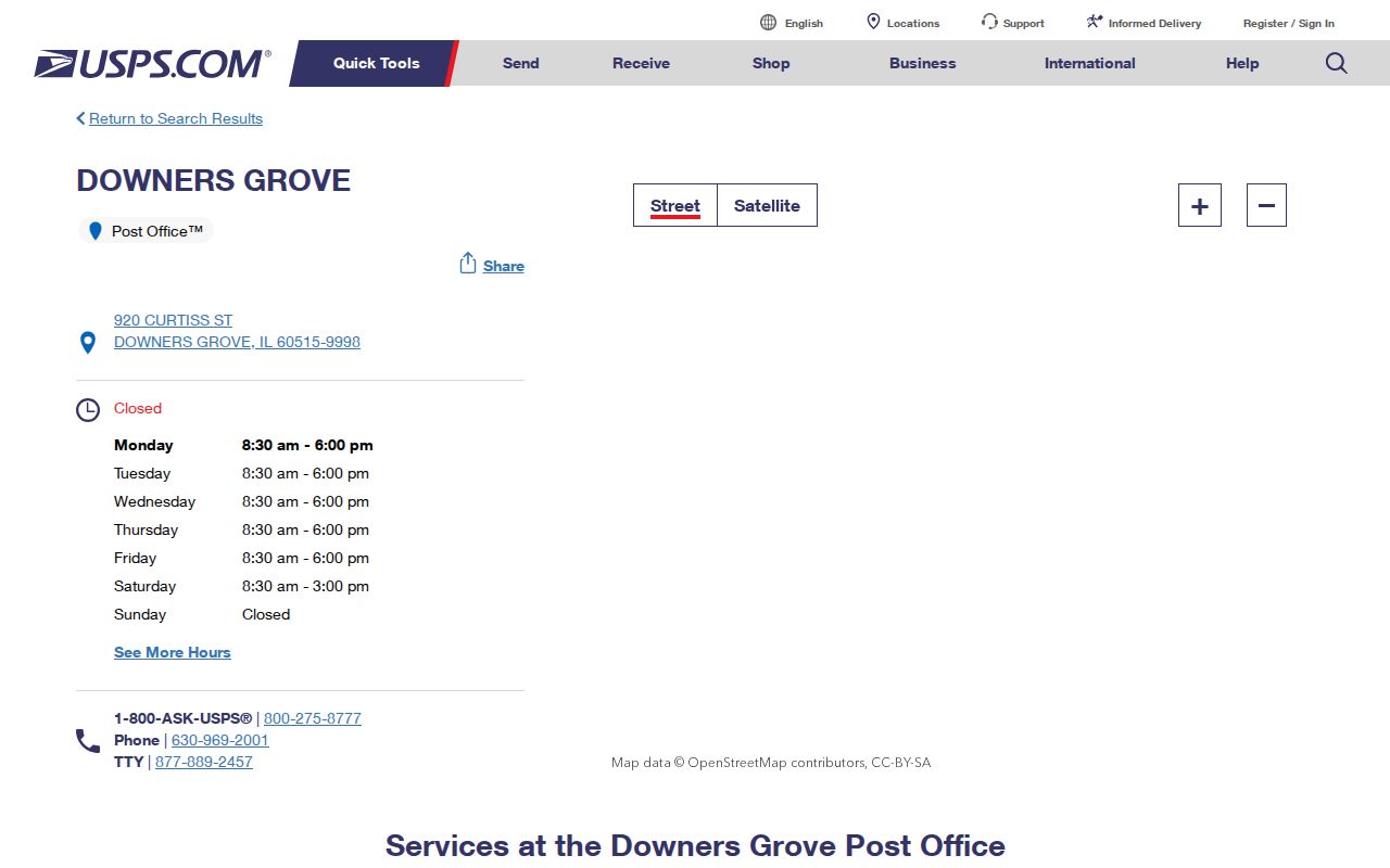
The office listing confirms the postal facility, while the address tool supplies the finer address-by-address answer.
- Keep the full street and unit line as supplied.
- Run USPS By Address and save its standardized wording.
- Record the ZIP and postal city as postal fields.
- Compare the same address with county GIS and the assessor.
- Save the source date because online layers can change.
Why a Downers Grove Address May Carry 60517
The Woodridge border creates the directory's key local quirk. The Woodridge Post Office listing ties that facility to ZIP 60517.
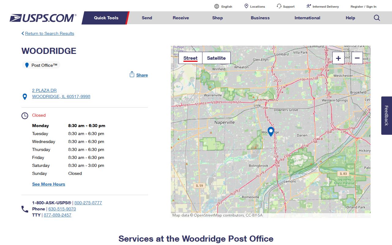
This image proves a routing association, not that each 60517 parcel is legally within Woodridge. A parcel may carry a Woodridge postal label while county, Village, school, park, sanitary, or voter records use another jurisdictional name.
Border test. Pair USPS with parcel situs, Village limit, township, school, park, sanitary, and voter-district fields before naming a jurisdiction.
Filter Downers Grove Parcels by ZIP Code
DuPage Parcel Viewer Advanced Search exposes ZIPCODE beside PIN and address controls. It is the clearest county map route when a query starts with a postal zone. The return is parcel geometry and assessment attributes, not a complete roster of people.
| GIS field | Input | ZIP-search use |
|---|---|---|
| ZIPCODE | Text | Filter by the layer's stored ZIP |
| Property Street Number | Text | Narrow one parcel |
| Property Street Direction | Dropdown | Keep direction separate |
| Property Street Name | Text | Match a segment |
| Apartment | Text | Add a unit clue |
| Property City | Text/dropdown | Test the stored jurisdiction label |
| Search / Clear | Action | Run or reset the query |
The Assessor map search supplies a visual bridge from area to parcel.
Carry the selected PIN into the current property card. A PIN is more stable than the postal label when record systems disagree.
Downers Grove ZIP Fields in Accela Records
DuPage Accela adds a second ZIP-capable channel. Its APO form separates Street Area, number range, direction, street name, type, suffix, unit, city, state, and ZIP. The county example splits 22W435 Ahlstrand Road into Street Area 22W and Street Number 435, a detail that prevents a false miss.
The Accela Building search adds record number, record type, project, dates, parcel, contact, site address, and ZIP.
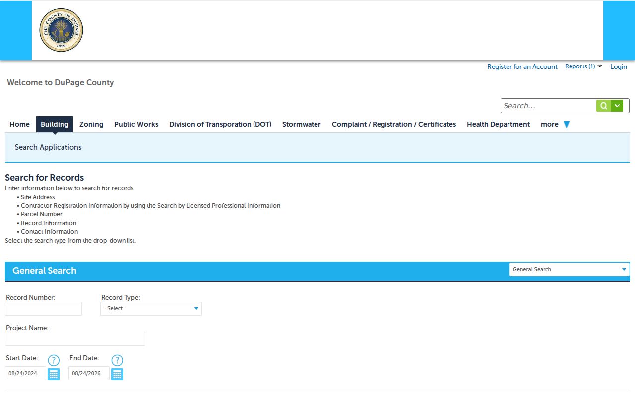
The captured form shows how postal fields join permit fields. A match is dated evidence about a site record, not proof of present occupancy, and an account may be needed for some actions.
Address Identities Behind a Downers Grove ZIP Code
A sound ZIP code directory keeps situs, billing, and legal-description data distinct. Situs says where the parcel lies. Billing says where a tax notice goes and can name another town. The legal description identifies land through subdivision, lot, block, and recorded language.
Postal terms
ZIP code: a delivery area. ZIP+4: an added delivery segment. PO-box ZIP: routing for post-office boxes. Unique ZIP: a code assigned to one high-volume recipient. Carrier route: a delivery sequence inside a zone.
The public assessor card can place billing fields beside situs fields. Never rewrite a remote mailing address as the Downers Grove property location. Once a ZIP narrows the field, the Downers Grove street directory explains the address and PIN trail in depth.
Downers Grove ZIP Boundaries Versus Village Limits
A ZIP code is not a Village line, precinct, tax district, school boundary, or parcel jurisdiction. Downers Grove Township and the incorporated Village are separate geographies. Unincorporated pockets and nearby municipalities can share the same mail label.
Read USPS and County GIS side by side. USPS answers how mail is routed. The parcel card answers situs and PIN. Village Map Services adds address points, Village limits, zoning, planned developments, historic resources, and school districts. Exact block-level ZIP boundaries were not found in an official county map, so do not shade a city-limit map and call it postal geography.
Find Downers Grove Residents Within One ZIP
The practical method is a funnel, not a ZIP-wide list. It preserves each official label and adds a record only when that record answers the question at hand.
- Confirm the postal line through USPS.
- Enter the ZIP in GIS, then narrow by street or map.
- Open candidate parcels by PIN in Property Lookup.
- Keep owner and billing names apart from claims about occupants.
- Use Accela for dated address or permit evidence.
- Use voter lookup for one address or person, never a bulk block roster.
GIS may omit a candidate if its stored city differs or a result cap applies. The Assessor lacks a stable ZIP-only control, so use its address, map, or PIN mode instead of forcing a postal query into the wrong box.
A Downers Grove ZIP Search Is Not a Resident List
The DuPage voter lookup uses name, address, and district modes. Its address form asks for house number, street, direction, suffix, and city rather than offering an all-ZIP roster. Results can confirm registration-related status, precinct, polling information, a sample ballot, or representatives at the time searched.
Illinois Election Code section 4-8 protects identifiers and restricts the underlying voter data. Do not infer that every owner is registered, every registrant owns the property, or every named party occupies a parcel. A public owner or voter lookup is never a complete account of who lives at an address.
Use records with care. Keep each search tied to a lawful personal or civic purpose, and never use address details to monitor, threaten, or harass someone.
Bridge Old Downers Grove Postal Wording
Historical directories and Sanborn maps may preserve abbreviations, rural-route wording, or community names that no longer match today's mail line. Keep the source text in a transcript. Then compare it with a modern PIN, legal description, plat, and Village historic map rather than silently updating it.
No official Downers Grove ZIP realignment chronology was found in the inspected sources. Any dated change must come from USPS material, not a guess based on an old directory. Research also found no official local street-renumbering schedule. The safe bridge is parcel identity, recorded legal description, historical mapping, and a clear source date.
Begin a historical check with the address exactly as printed. Search that wording in the selected city directory year and the Downers Grove Reporter. Next, locate the block on a 1909, 1921, or 1927 Sanborn sheet when coverage exists. A Recorder plat or deed can connect old lot and subdivision language to a current PIN. Add the modern USPS label only after that bridge. This keeps postal zones, Village borders, and old community names in their correct eras. It also prevents a present-day 60515, 60516, or 60517 label from being projected into a source created before ZIP codes existed.